Text Products
Atlantic Tropical Weather Discussion
000
AXNT20 KNHC 070617
TWDAT

Tropical Weather Discussion
NWS National Hurricane Center Miami FL
0615 UTC Sat Nov 7 2026

Tropical Weather Discussion for North America, Central America
Gulf of America, Caribbean Sea, northern sections of South
America, and Atlantic Ocean to the African coast from the
Equator to 31N. The following information is based on satellite
imagery, weather observations, radar and meteorological analysis.

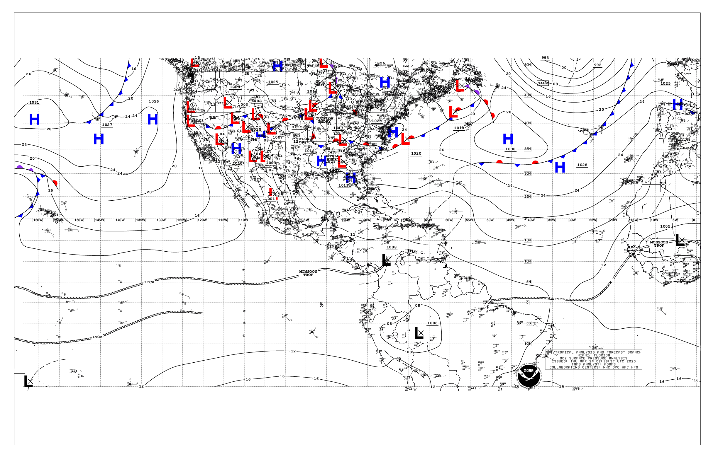
Based on 0000 UTC surface analysis and satellite imagery through
0550 UTC.

...SPECIAL FEATURES...

Western Atlantic Gale Warning: A 1003 mb low pressure area, Invest
AL94, is located near 25N63W. This non-tropical low pressure area
located several hundred miles south-southeast of Bermuda is
producing disorganized heavy showers and thunderstorms. High
pressure of 10 22 mb located over the NW Atlantic extends a ridge
to Bermuda and portions of the central subtropical waters, which
resultant pressure gradient is producing strong to gale-force NE
to E winds across the north semicircle of the low approximately
from 27N to 32N between 50W and 65W per recent satellite
scatterometer data. Scattered moderate isolated strong convection
is within that region as well. Altimeter and Sofar buoy data show
seas of 10 to 18 ft within this area of winds and convective
activity. The low could still acquire some subtropical
characteristics through tonight before upper-level winds increase
on Sunday. The low is forecast to move generally eastward over the
western and central subtropical Atlantic during the next couple
of days and become absorbed by a new non-tropical low pressure
system to its east early next week. Regardless, gale-force winds
are likely over parts of the central subtropical Atlantic through
the weekend. For more information, including Gale Warnings, see
High Seas Forecasts issued by the National Weather Service.
Please read the latest High Seas Forecast issued by the National
Hurricane Center at website:
https://nhc.noaa.gov/text/HSFAT2.html and the latest Tropical
weather outlook at website:
https://nhc.noaa.gov/text/TWOAT.html for more details.

...MONSOON TROUGH/ITCZ...

The monsoon trough enters the Atlantic near 13N17W and extends SW
to 12N19W where it transitions to ITCZ, which then continues along
0N37W to 10N50W. Scattered moderate convection is from 01N to 13N
between 22W and 42W.

...GULF OF AMERICA...

Former stationary front has transitioned into a cold front that
now extends from near Cedar Key, Florida SW to the central Gulf
near 26N89W where it stalls to the southern tip of Texas. A
reinforcing cold front extends from the Florida Panhandle near
29N83W to Mississippi coastal waters near 29N88W. Moderate NNE
winds follow the fronts. Moderate NE winds are also over the Bay
of Campeche offshore Yucatan. Slight seas to 3 ft are basin-wide.

For the forecast, the front will slowly shift across the basin
into early next week. Moderate to fresh winds will prevail behind
the front.

...CARIBBEAN SEA...

Invest6 AL94, south of Bermuda and E of the Bahamas, continue to
disrupt the trade wind flow across the Caribbean basin. Also, a
broad low of 1007 mb prevail over the Nicaragua offshore waters,
which is supporting scattered showers and isolated tstms over the
Honduras and Belize offshores. Similar convective activity is over
the E Caribbean ahead of a surface trough that extends across E
Puerto Rico to 15N71W. A weak pressure gradient over the region
due to the aforementioned features is supporting moderate or
weaker winds and slight seas to 3 ft basin-wide.

For the forecast, a weak pressure gradient across the basin will
result in moderate or weaker trade winds, along with slight to
moderate seas, through early next week. Winds will strengthen over
the central Caribbean by Tuesday.

...ATLANTIC OCEAN...

Please see the Special Features section for information on a Gale
Warning and the potential for subtropical development of Invest
AL94.

Aside from the low in the Special features, a cold front extends
from 31N28W to 26NZ42W where it stalls to 26N51W where it becomes
warm front to just N of Invest AL94. Scattered moderate isolated
strong convection is ahead of the cold front to 18W. Strong to
near gale-force SW winds are ahead of the front while fresh to
strong NNW winds follow it. Rough seas of 8 to 12 ft are N of 23N
between 25W and 50W. South of Invest AL94, winds are fresh to
locally strong from the SW, extending south to 20N between 50W
and 68W.

For the forecast west of 55W, the low pres in the Special
Features, also mentioned above, will drift slowly east-
northeastward. A second low may develop east of this low by Sat.
The lows will merge over the eastern waters late in the weekend,
then shift east of the area by early next week. An area of strong
to gale-force winds, and rough to very rough seas, peaking near 15
ft, will prevail north of the lows, impacting the waters mainly
north of about 27N and east of 65W through Sat night. Elsewhere, a
weakening cold front will move across the waters between Florida
and 75W tonight, then dissipate by Sun.

$$
Ramos